| State | qld |
|---|---|
| Coordinates | 20.8358°S 148.8405°E |
| Zoom | 11 |
| Pop | 175 |
| Postcode | 4798 |
| Area | 39.1 |
| Time zone | AEST |
| Utc | +10:00 |
| Dist 1 | 15.4 |
| Dir 1 | NE |
| Location 1 | Calen |
| Dist 2 | 68.0 |
| Dir 2 | NW |
| Location 2 | Mackay CBD |
| Dist 3 | 1029 |
| Dir 3 | NNW |
| Location 3 | Brisbane |
| Lga | Mackay Region |
| Stategov | Whitsunday |
| Fedgov | Dawson |
| Near-n | Mentmore |
| Near-ne | Coral Sea |
| Near-e | Coral Sea |
| Near-se | Coral Sea |
| Near-s | Calen |
| Near-sw | Calen |
| Near-w | Pindi Pindi |
| Near-nw | Mentmore |
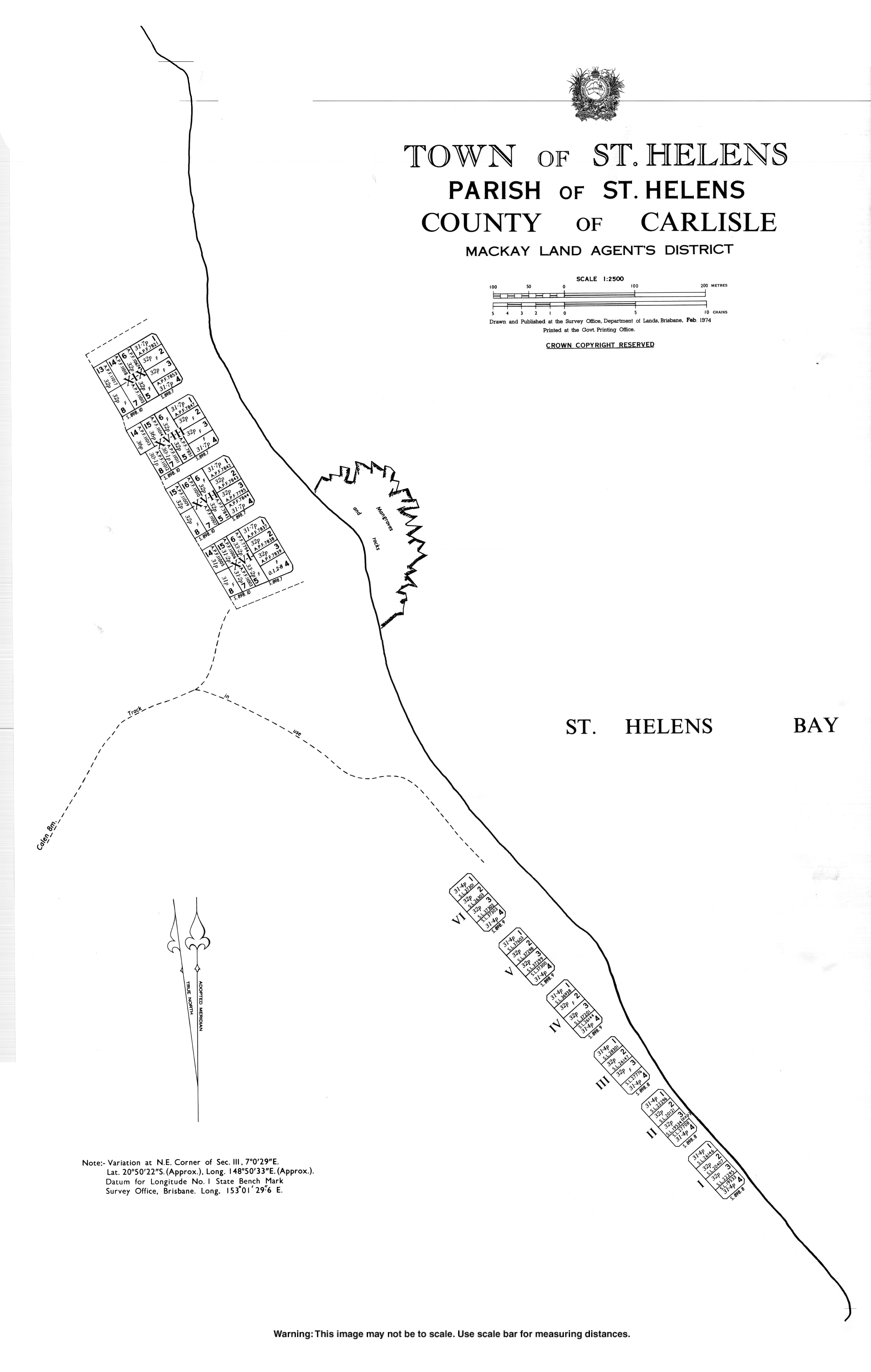
St Helens Beach is a coastal town and locality in the Mackay Region, Queensland, Australia.[1][2] In the , the locality of St Helens Beach had a population of 175 people.[3]
History
Yuwibara (also known as Yuibera, Yuri, Juipera, Yuwiburra) is an Australian Aboriginal language spoken on Yuwibara country. It is closely related to the Biri languages/dialects. The Yuwibara language region includes the landscape within the local government boundaries of the Mackay Region.[4]
Giya (also known as Kia) is a language of North Queensland. The Giya language region includes the landscape within the local government boundaries of the Whitsunday Regional Council, particularly the towns of Bowen and Proserpine.[5]
The town was originally known as Wootaroo but was changed to St Helens by the Queensland Place Names Board on 1 April 1973 and then changed from St Helens to St Helens Beach on 2 September 1989. St Helens was the name of a pastoral run founded by pastoralists R. W. Graham and brothers John and William Macartney in the 1870s.[6] The word beach is a reference to the sandy beach along the coastline of the Coral Sea.[1]
Demographics
In the , the locality of St Helens Beach had a population of 197 people.[7]
In the , the locality of St Helens Beach had a population of 175 people.[3]
Education
There are no schools in St Helens Beach. The nearest government primary schools are Calen District State College in neighbouring Calen to the south and Pindi Pindi State School in neighbouring Pindi Pindi to the west. The nearest government secondary school is Calen District State College (to Year 12).[8]
References
- ^ Retrieved 27 December 2020.
- ^ Retrieved 27 December 2020.
- ^
- ^ "Yuwibara". Queensland Aboriginal and Torres Strait Islander languages map. Retrieved 23 January 2020.
- ^ "Indigenous languages map of Queensland". State Library of Queensland. Retrieved 5 February 2020.
- ^ "District Place Names". Daily Mercury. Vol. 56, no. 562. 9 December 1922. p. 8. Retrieved 7 September 2023. – via National Library of Australia.
- ^
- ^ "Layers: Locality; Schools and school catchments". Queensland Globe. Queensland Government. Retrieved 24 October 2024.