| En name | Kulundinsky District |
|---|---|
| Ru name | Кулундинский район |
| Coordinates | 52°34′N 78°57′E |
| Federal subject | Altai Krai |
| Adm ctr name | Kulunda |
| No of rural localities | 31 |
| Mun formation 1 | Kulundinsky Municipal District |
| Mun formation1 no of urban settlements | 0 |
| Mun formation1 no of rural settlements | 9 |
| Area | 1980 km² |
| Pop 2010census | 23000 |
| Urban pop 2010census | 0% |
| Rural pop 2010census | 100% |
| Established date | January 18, 1935 |
| Website | http://кулундинский-район.рф |
| 2010 Census | 23,000[1] |
|---|---|
| 2002 Census | 25,034[2] |
| 1989 Census | 27,133[3] |
| 1979 Census | 25,423[4] |
Kulundinsky District (Russian: Кулунди́нский райо́н) is an administrative[5] and municipal[6] district (raion), one of the fifty-nine in Altai Krai, Russia. It is located in the west of the krai. The area of the district is 1,980 square kilometers (760 sq mi).[7] Its administrative center is the rural locality (a selo) of Kulunda.[5] As of the 2010 Census, the total population of the district was 23,000, with the population of Kulunda accounting for 63.2% of that number.[1]
Geography
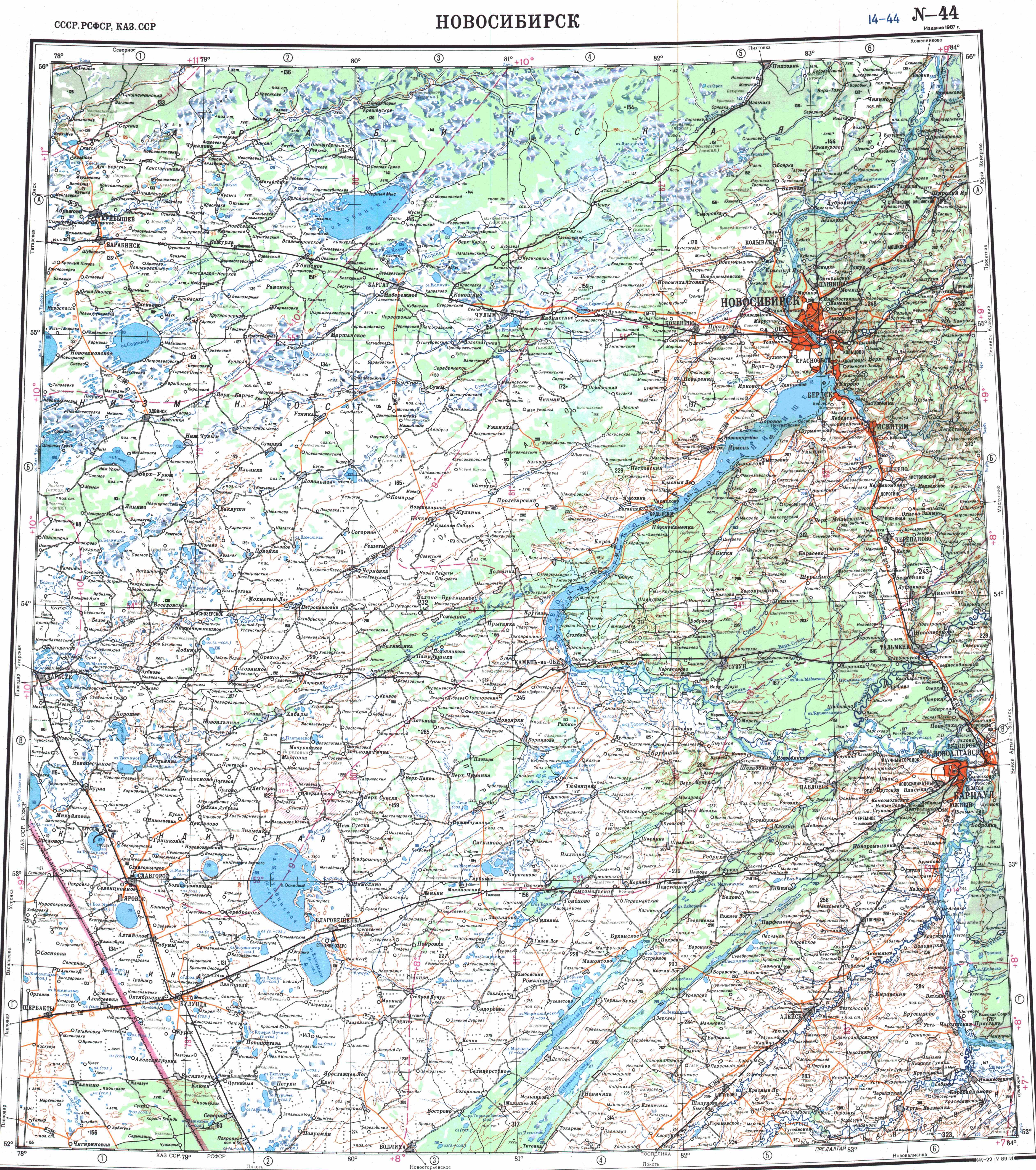
The district is located in the area of the Kulunda Steppe, at the southern edge of the West Siberian Plain.[8][9] Lakes Shchekulduk, Dzhira, Gorkiye Kilty, and part of Bura are located in the district.[10]
History
The district was established on January 18, 1935 as Kiyevsky (Novo-Kiyevsky) District within West Siberian Krai.[7] When Altai Krai was established in 1937, the district became a part of it.[7] In June 1938, the administrative center of the district was transferred to Kulunda, and the district was given its present name as a result.[7]
References
Notes
- ^
- ^
- ^
- ^
- ^ Law #28-ZS
- ^ Law #66-ZS
- ^ "About the District" (in Russian). Kulundinsky District. Retrieved July 27, 2017.
- ^ Google Earth
- ^ Geographical position, geological structure and surface topography of the south of Western Siberia (in Russian)
- ^ "N-44 Topographic Chart (in Russian)". Retrieved 5 September 2024.