| State | qld |
|---|---|
| Coordinates | 19.4555°S 147.4811°E |
| Zoom | 9 |
| Pop | 214 |
| Established | 1926 |
| Postcode | 4807 |
| Area | 123.5 |
| Dist 1 | 16.8 |
| Dir 1 | NE |
| Location 1 | Ayr |
| Dist 2 | 104 |
| Dir 2 | ESE |
| Location 2 | Townsville |
| Dist 3 | 1290 |
| Dir 3 | NNW |
| Location 3 | Brisbane |
| Lga | Shire of Burdekin |
| Stategov | Burdekin |
| Fedgov | Dawson |
| Elevation | 8 |
| Maxtemp | 28.2 |
| Mintemp | 20.6 |
| Rainfall | 1113.1 |
| Near-n | Coral Sea |
| Near-ne | Coral Sea |
| Near-e | Coral Sea |
| Near-se | Airdmillan |
| Near-s | Ayr |
| Near-sw | Brandon |
| Near-w | Colevale |
| Near-nw | Coral Sea |
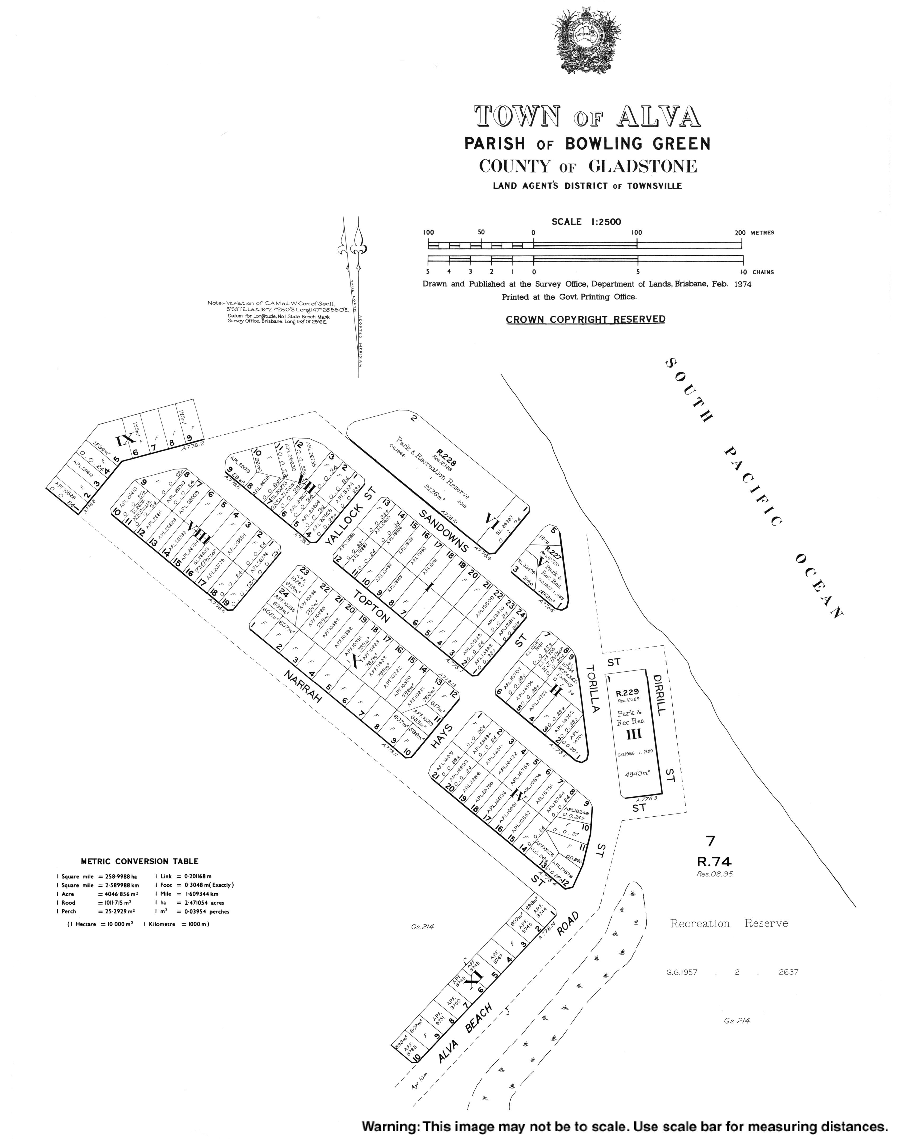
Alva is a coastal town and locality in the Shire of Burdekin, Queensland, Australia.[1][2] In the , the locality of Alva had a population of 214 people.[3]
Geography
The northern part of Alva is a peninsula extending into the Coral Sea. The peninsula and north-western part of the locality are within the Bowling Green Bay National Park.[4]
Alva Beach, also known as Lynchs Beach, is part of the Burdekin River Delta.[5]
Climate
Alva Beach has a tropical savanna climate (Köppen: Aw) with a highly erratic wet season from November to April and a somewhat cooler dry season from May to October.[6] The wettest recorded day was 28 January 2020 with 275.4 mm (10.84 in) of rainfall. Extreme temperatures ranged from 40.5 °C (104.9 °F) on 28 November 2018 to 3.3 °C (37.9 °F) on 30 June 2002.[7]
History
Alva was first surveyed as a town in 1926.[1]
Demographics
In the , the locality of Alva had a population of 279 people.[8]
In the , the locality of Alva had a population of 214 people.[3]
Education
There are no schools in Alva. The nearest government primary schools are Brandon State School and Kalamia State School, both in neighbouring Brandon to the south-west. The nearest government secondary school is Ayr State High School in neighbouring Ayr to the south. There are also non-government primary and secondary schools in Ayr.[9]
Amenities
The town is home to the Ayr Surf Life Saving Club which opened in 1926 at Alva Beach,[10] the Alva Beach Tourist Park,[11] and a dive shop[12] offering trips to the SS Yongala ship wreck.
References
- ^ Retrieved 18 November 2018.
- ^ Retrieved 18 November 2018.
- ^
- ^
- ^ "Beachsafe". Beachsafe. Surf Life Saving Australia. Archived 9 August 2021 at the Wayback Machine. Retrieved 9 August 2021.
- ^ "Climate classification maps: Köppen - all classes". Bureau of Meteorology. Retrieved January 16, 2026.
- ^ "Alva Beach Climate (1997-2025)". FarmOnline Weather. Australian Community Media. Retrieved January 16, 2026.
- ^
- ^ "Layers: Locality; Schools and school catchments". Queensland Globe. Queensland Government. Retrieved 22 June 2024.
- ^ "Ayr Surf Life Saving Club". Ayr Surf Life Saving Club. Ayr Surf Life Saving Club. Archived 9 August 2021 at the Wayback Machine. Retrieved 9 August 2021.
- ^ "AlvaBeachTP". Alva Beach Tourist Park. Alva Beach Tourist Park. Archived 9 August 2021 at the Wayback Machine. Retrieved 9 August 2021.
- ^ "Yongala Dive". Yongala Dive. Yongala Dive. Archived 9 August 2021 at the Wayback Machine. Retrieved 9 August 2021.